Distance Measuring Instrument Electronic
Normally: $48.99
Overview:
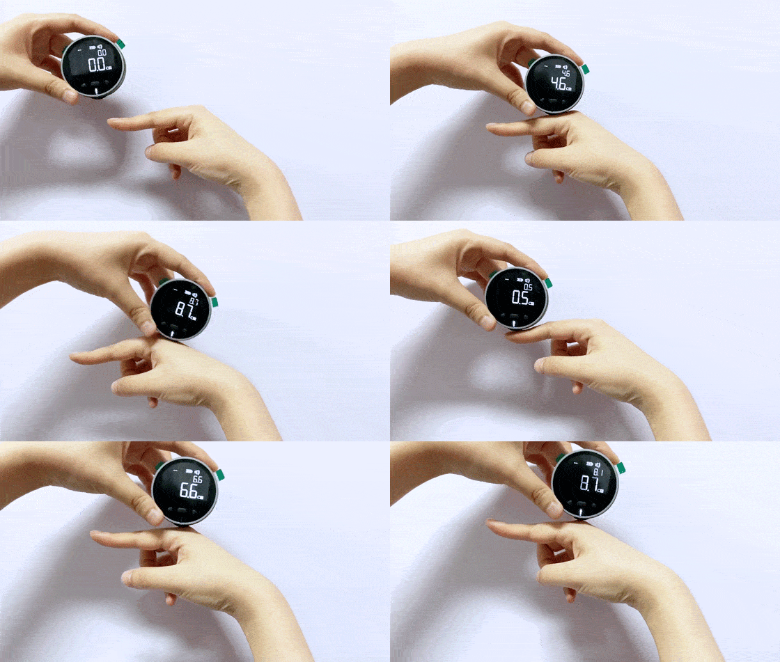
- Mini size, convenient and practical.
- Lightweight to 35g, compact and portable.
- 8 functions, simple operation with three keys.
- 99 meters long distance measurement.
- Lithium battery direct charge, 200 days long standby.
Product information:
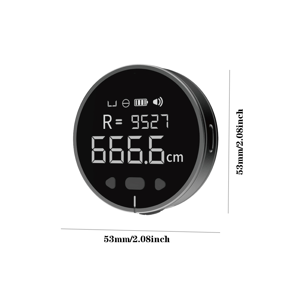
Shell material: aluminum alloy + silica gel
Screen: 1.8 inch va lcd display
Shell technology: fine polishing + frosted sandblasting
Screen coverage: 4h super hard
Size: 53*15mm (diameter * thickness)
Net weight: 35g
Single measurement distance: up to 9.99 meters
Cumulative scale: maximum 99.99 meters
Accuracy: 0.5%, stepless support adjustment
Backlight time: 30-180 seconds
Buzzer: On/Off
Battery: 200mah 0.74wh
Tips: The product function does not include laser and infrared
Packing list:
1 x electronic ruler
1 x type c charging cable
Key Features
- High Accuracy and Range: EDM instruments offer exceptional accuracy, often within millimeters, over long distances. Some models can measure distances up to several kilometers, making them ideal for large-scale projects.
- Advanced Technology: These instruments use electromagnetic waves, including light, infrared, and microwave, to determine distances. The time it takes for the waves to reflect back from a target (usually a prism or reflector) is used to calculate the distance.
- User-Friendly Design: Many EDM instruments come with digital displays, backlit keypads, and easy-to-navigate interfaces, allowing for quick and straightforward operation.
- Versatility: Suitable for a variety of environments and applications, including land surveying, construction layout, road and railway length measurements, and even archaeological site mapping.
Types of EDM Instruments
- Microwave Instruments: Use microwaves for measurements and are ideal for long distances, up to 100 km.
- Infrared Instruments: Utilize infrared waves with a range of up to 3 km, suitable for most civil engineering works.
- Light Wave Instruments: Employ visible light for high-precision measurements, commonly used in various surveying tasks.
Applications
- Land Surveying: Accurate mapping and boundary setting.
- Construction: Monitoring site layouts, calculating material requirements, and ensuring accurate infrastructure development.
- Engineering: Precise measurements for infrastructure projects and structural monitoring.
- Other Uses: Ideal for forestry, navigation, and archaeological studies.


.webp)


.webp)

.webp)


.jpg)





ulva-Logo.jpg)
